Zoom
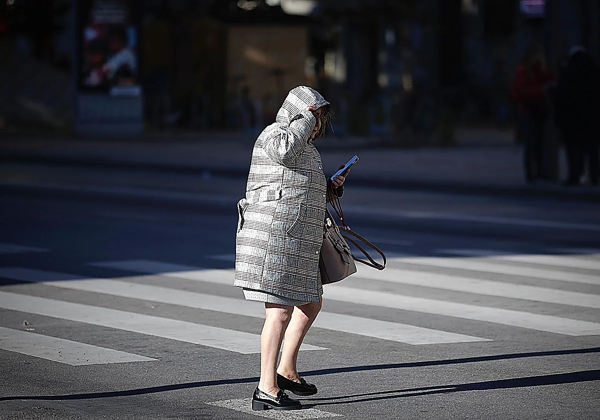
A woman shields herself against the cold weather in Malaga with thick coat. Migue Fernández Weather Another weather change: cold and rain return to Malaga provinceThe arrival of a cold front will bring heavy rain and possible snowfall, as well as unusually low temperatures
Ignacio Lillo
Thursday, 15 January 2026, 15:41
After a short break with normal Malaga temperatures, a new low-pressure system is expected to arrive in the province on Thursday night, bringing rainfall to the interior and mountainous areas.
According to state meteorological agency Aemet, the front will pass across the entire province on Friday. "Rainfall is expected, initially light but possibly moderate in some areas," Aemet director Jesús Riesco has forecast.
The areas with the highest downfalls will be the Serranía de Ronda and the western part of the coast, closest to the Strait of Gibraltar: from Marbella to Estepona and Manilva and in the foothills of Los Reales de Sierra Bermeja.
COLD WEEKEND
A mass of cold polar air will move into the province at the weekend. "At the moment, it's like a low-pressure system that is descending in the form of a trough at high altitude," Riesco said. As a result, temperatures will be significantly lower: if on Thursday and Friday the maximum in Malaga city is 18C, on Saturday it will drop to 16C and on Sunday to 13C (the coldest day of the week). The good news is that it will be a brief episode. On Monday, temperatures will rise again to 16-17C.
If maximum values right now are slightly above normal (around 18C, when the historical average is 17C), the situation will be reversed on Saturday and Sunday, with temperatures falling below normal. The sharpest drop in the interior of the province will be felt on Saturday, with a maximum of 9-10C in Ronda and the Antequera district. Meanwhile, nighttime temperatures will remain at 1-2C throughout the weekend.
MEDITERRANEAN CYCLOGENESIS
In turn, this low pressure system will become isolated from Sunday onwards, when it will move southwards to position itself over Algeria. This will give rise to a "Mediterranean cyclogenesis", i.e. the formation of a powerful storm, but one that will only affect the province indirectly. "At the moment, it looks far away enough that in the first few days of next week there will be little or no rain, so it probably won't affect us much," Aemet's predictions say.
Therefore, rain is unlikely in Malaga on Saturday, although there may be light precipitation on Sunday. The heaviest rainfall is expected on the eastern side of mainland Spain, i.e. in Murcia and Valencia.
POSSIBLE SNOWFALL
According to SUR's weather expert José Luis Escudero, there may be another meteorological phenomenon in the province this Sunday: snow. While he agrees that there will be rainfall across the province on Friday, if it rains over the weekend, there could be a snow level as low as 900-metre altitudes due to the mass of cold air. A white blanked could be seen once again in places such as El Torcal. "For that to happen, of course, there has to be precipitation; otherwise, there will be no snow," he says.