Zoom
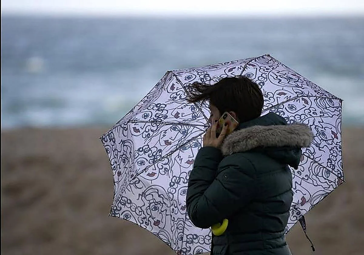
Weather Storm Harry triggers yellow warnings for wind and waves in Malaga province from Tuesday onwardsState meteorological agency Aemet forecasts gusts of wind of 70km/h and waves of two to three metres, which has prompted the emergency services to urge residents to avoid dykes and cliffs near the sea
Rossel Aparicio
Tuesday, 20 January 2026, 13:45
Storm Harry brings strong winds and waves to Andalucía from Tuesday onwards. The state meteorological agency (Aemet) has issued a yellow warning for winds of up to 70km/h in Malaga and Almeria province on 20 January. In addition, a yellow warning has been issued for high waves in the Axarqua district and on the coast of Granada. The latter warning has been extended from Tuesday to Wednesday.
According to Aemet's website, the wind warning for gusts of 50 to 60km/h in Malaga will be active from 6pm on Monday until the end of the day on Tuesday. The wave warning will extend further, first to 7am on Wednesday and then from 4pm to midnight.
Meanwhile, the yellow warning for wind in Valle del Almanzora and Los Vélez (Almeria province) will be active from 8am until midnight on Tuesday, with gusts from the north-west of up to 70km/h.
In light of these conditions, the Andalusian emergency services recommend taking extreme precautions and staying away from dykes and cliffs by the sea.
The weather in Andalucía and Spain
Cloudy skies are expected in the western and eastern thirds of Andalucía on Tuesday, with the possibility of "light rainfall", although the rest of the region will see mainly clear skies. The snow level will be between 900 and 1,200 meters, with light frosts in the mountains of the eastern half. North-west winds will be light to moderate, blowing moderately on the eastern Mediterranean coast, with strong intervals and, occasionally, very strong gusts.
Looking ahead to Wednesday, 21 January, Andalucía also expects cloudy skies, accompanied by rainfall, moderate on the Atlantic side, where locally heavy rainfall cannot be ruled out. Light to moderate rainfall can be anticipated in the rest of the region.
Across the country, storm Harry will leave "overcast skies and rainfall in the eastern third of mainland Spain and the Balearic Islands". Locally heavy rain is expected in the Balearic Islands, Valencia, Catalonia and eastern Aragon. Up to 180mm could be accumulated in parts of Gerona.
On the other hand, the passage of fronts will also leave cloudy or overcast skies with rainfall in Galicia, Asturias and surrounding areas, as well as cloudy skies in the rest of the Cantabrian coast and the western third of the country. According to Aemet, the rains are likely to be persistent in western Galicia. Skies will be generally clear in the rest of the country, except in the north of the Canary Islands, where skies will be cloudy.
Morning fog could form in the north and east of the southern plateau. The mountain ranges of the northern third of mainland Spain and eastern Iberia will see snow at around 1,000-1,200 metres of altitude and around 1,300-1,500 in the Pyrenees.